Dead reckoning — how sailors crossed oceans before GPS, and why it still works.
Longitude was unsolvable. Latitude was easy. For 200 years, every ocean crossing relied on knowing north and guessing east-west. The error accumulated. Ships ran aground.
Before the first chronometer ticked, before the first satellite climbed to orbit, before any instrument could reliably fix a ship's position in the vast and featureless ocean, sailors crossed oceans by arithmetic and faith. The method was called dead reckoning — from the English "ded reckoning," a contraction of "deduced reckoning" — and it worked by projecting forward from a last known position, incorporating course, speed, and elapsed time into a running calculation of where one must be now. It was the dominant navigational method of the Age of Sail, the foundation beneath every oceanic crossing, every fleet engagement, every colonial expedition. And it was, by its very nature, wrong — or rather, it was never more than an approximation that accumulated error the longer it ran, like compound interest working against you, silently, with lethal patience.
The fundamental problem of early ocean navigation was an asymmetry built into the planet itself. Latitude — position north or south — could be measured with reasonable precision any clear night or noon. A navigator need only raise a cross-staff to the horizon and measure the altitude of Polaris, or catch the sun's meridian passage at noon; the angle above the horizon translated directly into degrees of latitude. Ships routinely sailed "on the parallel," holding a fixed latitude east or west until they struck their destination. But longitude — position east or west — was another matter entirely. Longitude required knowing the exact time at a reference meridian while simultaneously observing local noon, and every second of difference corresponded to fifteen arc-minutes of earth. Without a reliable clock, there was no reliable longitude. For two hundred years, every ship that crossed an ocean carried a secret: it did not know exactly where it was.
Into this gap stepped dead reckoning, supported by a collection of ingenious but imprecise instruments. The chip log — a flat wooden board, roughly pie-shaped and weighted at its curved edge, thrown overboard on a long knotted line — gave speed. A sailor would cast the log over the stern and count how many knots in the line ran through his fingers during a 28-second sandglass. The number of knots, a unit of measure still standard today, was the ship's speed in nautical miles per hour. Course came from the compass, corrected imperfectly for magnetic declination — the maddening difference between magnetic north and true north that varied by location and changed year to year. The traverse board, a circular peg-board hung in the helmsman's station, recorded each half-hour's course and speed so the navigator could tally the voyage at the end of each watch. Multiply speed by time, project along the compass course, and you had a position. Multiply the accumulated errors of each element, and you had a disaster waiting for a coastline.
No wreck demonstrated this more brutally than that of the Batavia, flagship of the Dutch East India Company, which struck the Abrolhos Islands off Western Australia in the early morning hours of June 4, 1629. The Batavia was on her maiden voyage from Amsterdam to the spice ports of the East Indies, carrying 341 souls, a chest of rubies, and twelve stone boxes of silver coins minted for trade. Her merchant commander, Francisco Pelsaert, lay gravely ill in his cabin; skipper Ariaen Jacobsz drove the ship hard along the new Brouwer Route, cutting deep into the Roaring Forties to catch the westerly winds across the Indian Ocean before turning north toward Batavia. The problem was the turn north. Dead reckoning — and a negligent watch — placed the ship still safely at sea when in fact she had run too far east and was bearing down on a reef at full sail. The shock of impact, at two in the morning, was catastrophic. Of the 341 aboard, 125 would ultimately die — many in the mutiny and massacre that followed on the islands. The wreck of the Batavia was not a failure of courage or seamanship. It was a failure of longitude.
Yet even knowing these risks, mariners did not flinch from the largest dead-reckoning gambles in history. The Manila Galleons, the Spanish treasure ships that crossed the Pacific for 250 years between 1565 and 1815, made the longest oceanic voyages of the age — 8,000 nautical miles from Manila to Acapulco, driven east by the North Pacific High along roughly the fortieth parallel in an immense arc that touched no land for four to six months. The route had been worked out by the Augustinian friar Andrés de Urdaneta in 1565, who understood that the westerlies would carry a ship east if she climbed far enough into the northern latitudes. Navigators held their latitude as best they could, counted their knots, watched the stars when clouds permitted, and noted changes in water temperature, the presence of birds, floating kelp, the feel of the swell — anything that might hint at approaching land. Occasionally they guessed wrong. The San Agustín, dispatched in 1595 under Sebastián Rodríguez Cermeño to survey the California coast, was wrecked in Drake's Bay just north of present-day San Francisco. Her crew built a small open launch from the wreckage and limped to Mexico. The entire year's cargo of porcelain and silk lay on the bottom.
The English privateers who hunted the galleons played the same navigational game. Sir Francis Drake, who completed the second circumnavigation of the globe in September 1580 aboard the Golden Hind, was one of the finest dead reckoners of his era. His chaplain Francis Fletcher kept meticulous logs of course, speed, and time — a running chain of deduced positions that Drake cross-checked against his own noon sights. When the Golden Hind cleared the Strait of Magellan in sixteen days in late August 1578, Drake's reckoning was precise enough that his charts of the passage remained in use for decades. He then drove north up the Pacific coast of South America, plundering Spanish ports by knowing where they were when the Spanish governors believed no English ship could possibly have arrived. He anchored in 1579 in a California bay — likely the harbor he called Nova Albion — and then crossed the Pacific back to England without losing a ship. Good dead reckoning, rigorously kept and relentlessly checked, was the difference between Drake and the less celebrated captains who simply vanished at sea.
San Diego itself was charted by dead reckoning. When Juan Rodríguez Cabrillo sailed into what he called San Miguel Bay in September 1542 — the harbor now known as San Diego — he was navigating from known Mexican ports by compass and astrolabe, counting log-line knots for speed. Sebastián Vizcaíno returned in November 1602 with three ships — the San Diego, the Santo Tomás, and the Tres Reyes — gave the harbor its permanent name, and produced the first detailed California coastal chart that Spanish pilots trusted enough to publish. Vizcaíno's charts were drawn from exactly this method: count the knots, hold the compass course, shoot the noon sun, plot the position on paper. The longitude was off, often by a degree or more. But the relative shape of the coast — the placement of harbors, headlands, and islands in relation to each other — was accurate enough that Manila Galleons returning from Asia used those charts to navigate the final leg of their Pacific crossing, identifying San Diego's distinctive bay before turning south for Acapulco. A harbor charted by educated guesswork became a lifeline for ships that had not seen land in four months.
Dead reckoning never disappeared. It survived the marine chronometer, survived radio navigation, survived satellite positioning — because every other system can fail. Modern navies, submariners running silent beneath the thermocline, and commercial pilots flying over featureless ocean still learn dead reckoning as the foundation beneath all other methods. When GPS spoofing events began plaguing the Black Sea in 2017 — dozens of ships suddenly reporting positions hundreds of miles inland — the masters who recognized the error fastest were those keeping a parallel DR plot by hand, the old way, with pencil and chart and elapsed time. The Pacific was a problem to be solved with arithmetic. The solution was imperfect, costly, and across three centuries of ocean crossings, good enough to move empires. The sailors who crossed it knew they were guessing. The great ones guessed carefully, checked constantly, and never entirely trusted any of it. That discipline — rigorous skepticism of one's own position — is perhaps the deepest lesson the sea has ever taught.
Two designs for Pulse No. 60.
Bella + Canvas 3001 unisex tee. Printed on demand and shipped from the U.S. $34.99 + tax + shipping.
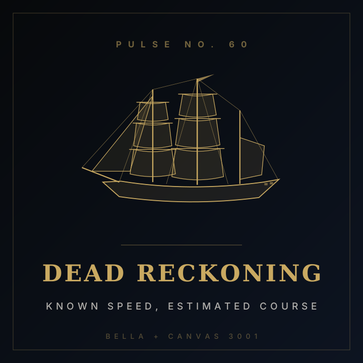
Dead Reckoning Tee
DEAD RECKONING · KNOWN SPEED, ESTIMATED COURSE

Find the Longitude
The problem that consumed the 18th century — solved by a clockmaker, not a mathematician.